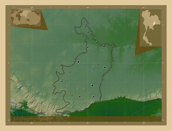
Buri Ram Province Thailand Colored Elevation Map Lakes Rivers Locations — Foto Stock

Foto stock - Buri Ram, province of Thailand. Colored elevation map with lakes and rivers. Locations and names of major cities of the region. Corner auxiliary location maps: immagini royalty-free

Buri Ram, province of Thailand. Colored elevation map with lakes and rivers. Locations and names of major cities of the region. Corner auxiliary location maps

 — Foto di Yarr65

Stessa serie:

Buri Ram, province of Thailand. Colored elevation map with lakes and rivers. Locations of major cities of the region. Corner auxiliary location maps
Buri Ram Province Thailand Colored Elevation Map Lakes Rivers Locations — Foto Stock
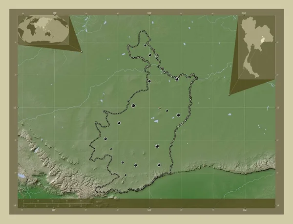
Buri Ram, province of Thailand. Elevation map colored in wiki style with lakes and rivers. Locations of major cities of the region. Corner auxiliary location maps
Buri Ram Province Thailand Elevation Map Colored Wiki Style Lakes — Foto Stock
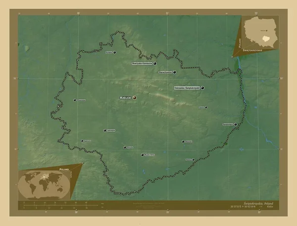
Swietokrzyskie, voivodeship|province of Poland. Colored elevation map with lakes and rivers. Locations and names of major cities of the region. Corner auxiliary location maps
Swietokrzyskie Voivodeship Province Poland Colored Elevation Map Lakes Rivers Locations — Foto Stock
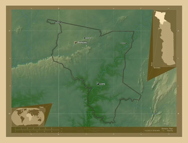
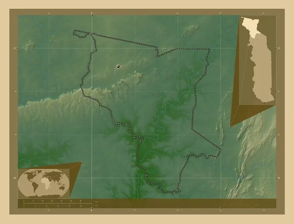
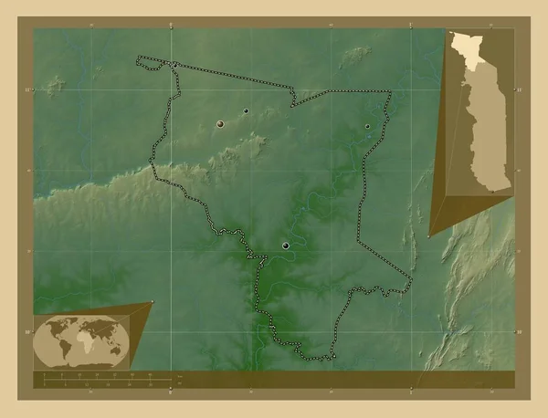
Savanes, region of Togo. Colored elevation map with lakes and rivers. Locations and names of major cities of the region. Corner auxiliary location maps
Savanes Region Togo Colored Elevation Map Lakes Rivers Locations Names — Foto Stock
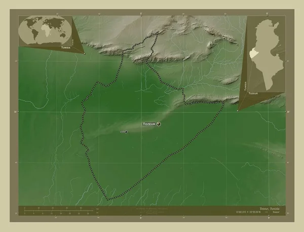
Tozeur, governorate of Tunisia. Elevation map colored in wiki style with lakes and rivers. Locations and names of major cities of the region. Corner auxiliary location maps
Tozeur Governorate Tunisia Elevation Map Colored Wiki Style Lakes Rivers — Foto Stock
Savanes, region of Togo. Colored elevation map with lakes and rivers. Corner auxiliary location maps
Savanes Region Togo Colored Elevation Map Lakes Rivers Corner Auxiliary — Foto Stock
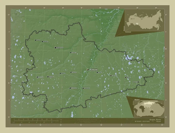
Kurgan, region of Russia. Elevation map colored in wiki style with lakes and rivers. Locations and names of major cities of the region. Corner auxiliary location maps
Kurgan Region Russia Elevation Map Colored Wiki Style Lakes Rivers — Foto Stock
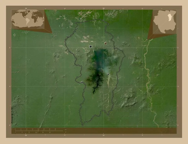
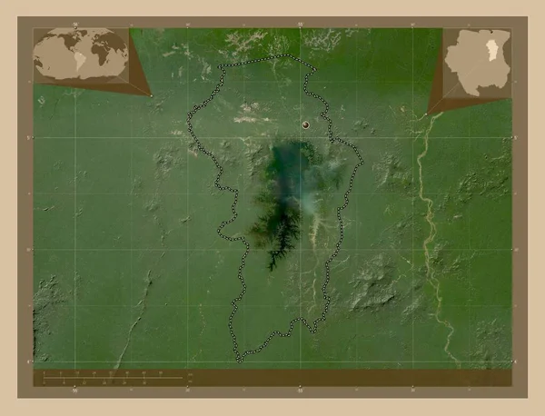
Brokopondo, district of Suriname. Low resolution satellite map. Locations of major cities of the region. Corner auxiliary location maps
Brokopondo District Suriname Low Resolution Satellite Map Locations Major Cities — Foto Stock
Savanes, region of Togo. Colored elevation map with lakes and rivers. Locations of major cities of the region. Corner auxiliary location maps
Savanes Region Togo Colored Elevation Map Lakes Rivers Locations Major — Foto Stock
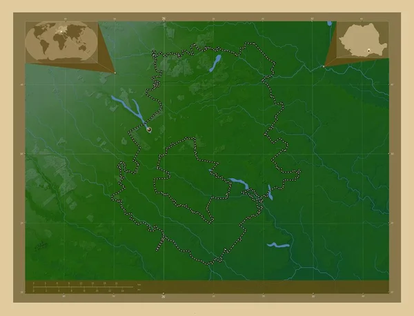
Ilfov, county of Romania. Colored elevation map with lakes and rivers. Corner auxiliary location maps
Ilfov County Romania Colored Elevation Map Lakes Rivers Corner Auxiliary — Foto Stock
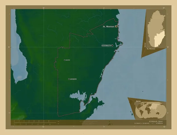
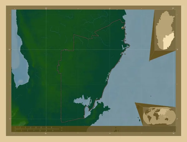
Al Wakrah, municipality of Qatar. Colored elevation map with lakes and rivers. Locations and names of major cities of the region. Corner auxiliary location maps
Wakrah Municipality Qatar Colored Elevation Map Lakes Rivers Locations Names — Foto Stock
Brokopondo, district of Suriname. Low resolution satellite map. Corner auxiliary location maps
Brokopondo District Suriname Low Resolution Satellite Map Corner Auxiliary Location — Foto Stock
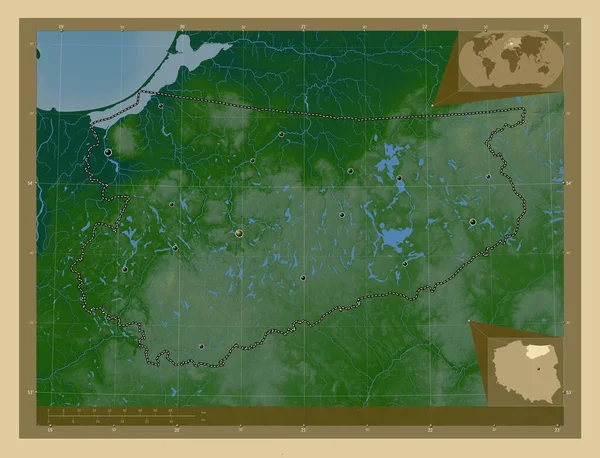
Warminsko-Mazurskie, voivodeship|province of Poland. Colored elevation map with lakes and rivers. Locations of major cities of the region. Corner auxiliary location maps
Warminsko Mazurskie Voivodeship Province Poland Colored Elevation Map Lakes Rivers — Foto Stock
Al Wakrah, municipality of Qatar. Colored elevation map with lakes and rivers. Corner auxiliary location maps
Wakrah Municipality Qatar Colored Elevation Map Lakes Rivers Corner Auxiliary — Foto Stock
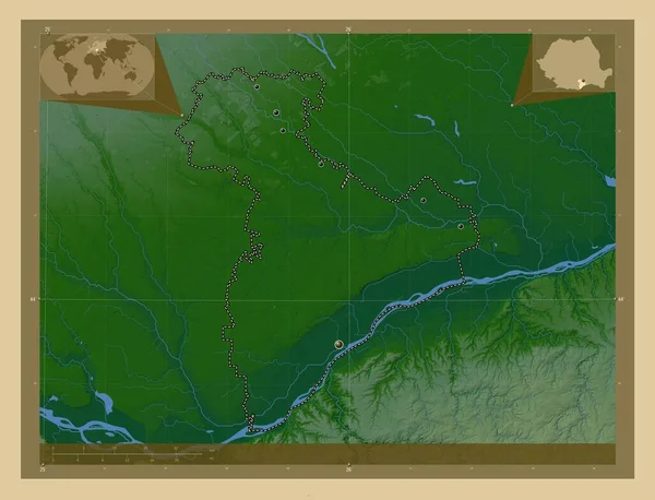
Giurgiu, county of Romania. Colored elevation map with lakes and rivers. Locations of major cities of the region. Corner auxiliary location maps
Giurgiu County Romania Colored Elevation Map Lakes Rivers Locations Major — Foto Stock
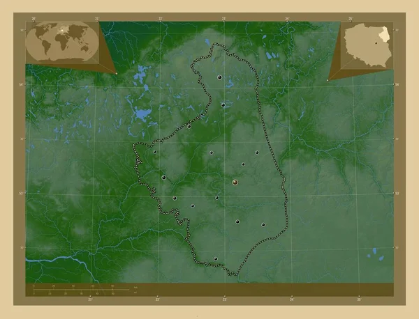
Podlaskie, voivodeship|province of Poland. Colored elevation map with lakes and rivers. Locations of major cities of the region. Corner auxiliary location maps
Podlaskie Voivodeship Province Poland Colored Elevation Map Lakes Rivers Locations — Foto Stock

Informazioni d'uso

Puoi utilizzare questa foto royalty-free "Buri Ram, province of Thailand. Colored elevation map with lakes and rivers. Locations and names of major cities of the region. Corner auxiliary location maps" per scopi personali e commerciali in base alla Licenza Standard o Estesa. La Licenza Standard copre la maggior parte dei casi d'utilizzo, inclusi pubblicità, design dell'interfaccia utente e packaging dei prodotti, e consente fino a 500.000 copie stampate. La Licenza Estesa consente tutti i casi d'utilizzo nell'ambito della Licenza Standard con diritti di stampa illimitati e consente di utilizzare le immagini stock scaricate per merchandising, rivendita di prodotti o distribuzione gratuita.

Puoi acquistare questa foto stock e scaricarla in alta risoluzione fino a 4930x3770. Data Caricamento: 28 feb 2023