Nickerie District Suriname Grayscale Elevation Map Lakes Rivers Locations Names — Foto Stock

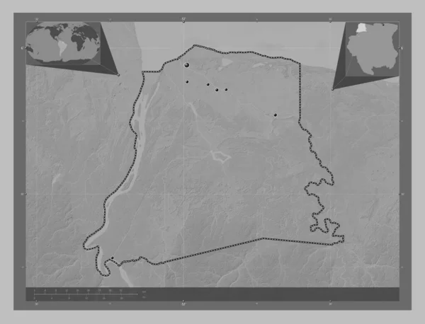
Foto stock - Nickerie, district of Suriname. Grayscale elevation map with lakes and rivers. Locations and names of major cities of the region. Corner auxiliary location maps: immagini royalty-free

Nickerie, district of Suriname. Grayscale elevation map with lakes and rivers. Locations and names of major cities of the region. Corner auxiliary location maps

 — Foto di Yarr65

Stessa serie:

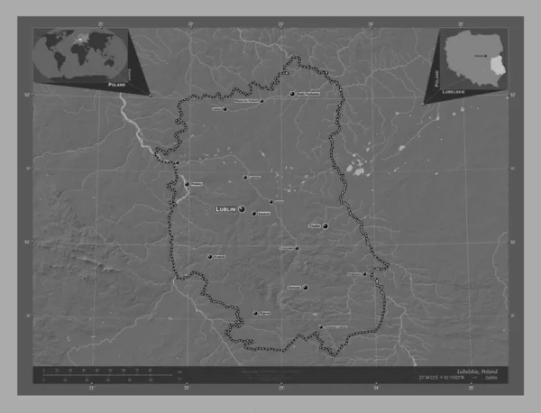
Lubelskie, voivodeship|province of Poland. Bilevel elevation map with lakes and rivers. Locations and names of major cities of the region. Corner auxiliary location maps
Lubelskie Voivodeship Province Poland Bilevel Elevation Map Lakes Rivers Locations — Foto Stock
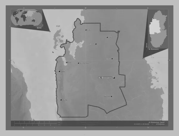
Al Shahaniya, municipality of Qatar. Grayscale elevation map with lakes and rivers. Locations and names of major cities of the region. Corner auxiliary location maps
Shahaniya Municipality Qatar Grayscale Elevation Map Lakes Rivers Locations Names — Foto Stock
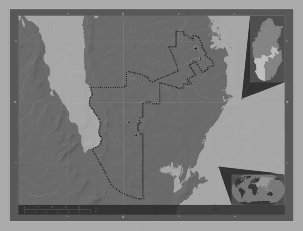
Ar Rayyan, municipality of Qatar. Bilevel elevation map with lakes and rivers. Locations of major cities of the region. Corner auxiliary location maps
Rayyan Municipality Qatar Bilevel Elevation Map Lakes Rivers Locations Major — Foto Stock
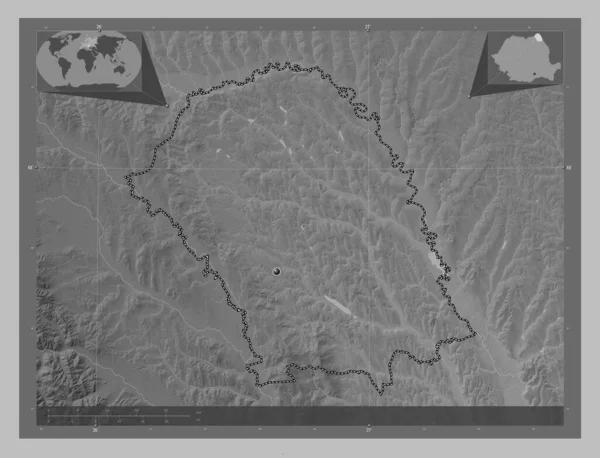
Botosani, county of Romania. Grayscale elevation map with lakes and rivers. Corner auxiliary location maps
Botosani County Romania Grayscale Elevation Map Lakes Rivers Corner Auxiliary — Foto Stock
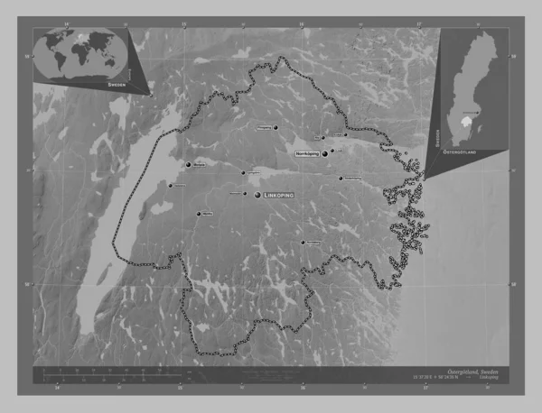
Ostergotland, county of Sweden. Grayscale elevation map with lakes and rivers. Locations and names of major cities of the region. Corner auxiliary location maps
Ostergotland County Sweden Grayscale Elevation Map Lakes Rivers Locations Names — Foto Stock
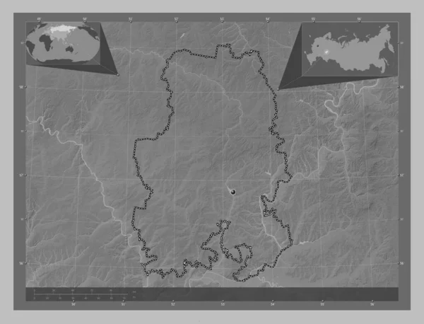
Udmurt, republic of Russia. Grayscale elevation map with lakes and rivers. Corner auxiliary location maps
Udmurt Republic Russia Grayscale Elevation Map Lakes Rivers Corner Auxiliary — Foto Stock
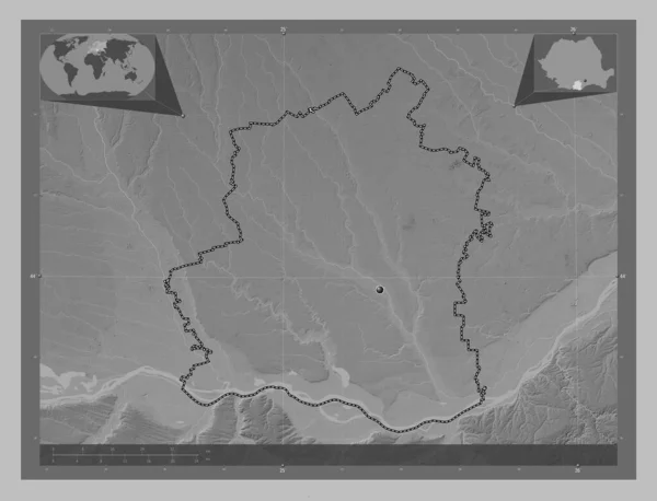
Teleorman, county of Romania. Grayscale elevation map with lakes and rivers. Corner auxiliary location maps
Teleorman County Romania Grayscale Elevation Map Lakes Rivers Corner Auxiliary — Foto Stock
Nickerie, district of Suriname. Grayscale elevation map with lakes and rivers. Locations of major cities of the region. Corner auxiliary location maps
Nickerie District Suriname Grayscale Elevation Map Lakes Rivers Locations Major — Foto Stock
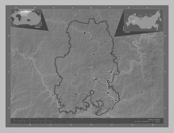
Udmurt, republic of Russia. Grayscale elevation map with lakes and rivers. Locations and names of major cities of the region. Corner auxiliary location maps
Udmurt Republic Russia Grayscale Elevation Map Lakes Rivers Locations Names — Foto Stock
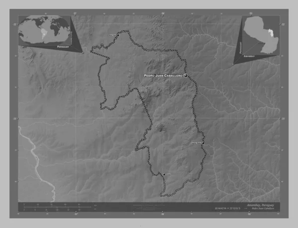
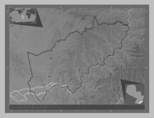
Amambay, department of Paraguay. Grayscale elevation map with lakes and rivers. Locations and names of major cities of the region. Corner auxiliary location maps
Amambay Department Paraguay Grayscale Elevation Map Lakes Rivers Locations Names — Foto Stock
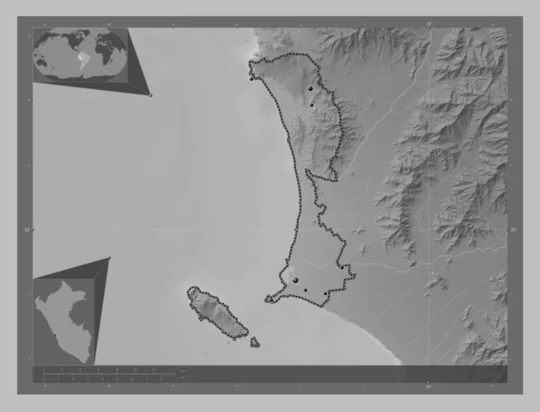
Callao, province of Peru. Grayscale elevation map with lakes and rivers. Locations of major cities of the region. Corner auxiliary location maps
Callao Province Peru Grayscale Elevation Map Lakes Rivers Locations Major — Foto Stock
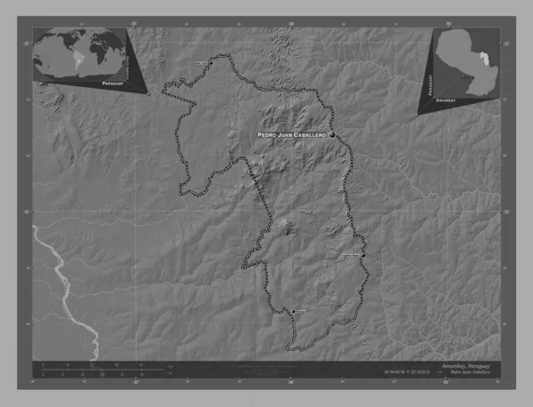
Amambay, department of Paraguay. Bilevel elevation map with lakes and rivers. Locations and names of major cities of the region. Corner auxiliary location maps
Amambay Department Paraguay Bilevel Elevation Map Lakes Rivers Locations Names — Foto Stock
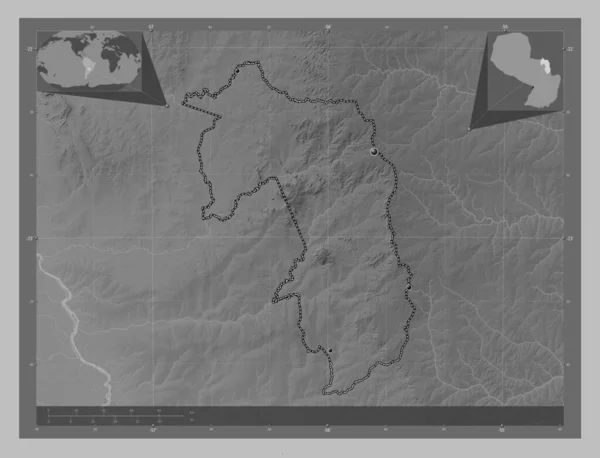
Caaguazu, department of Paraguay. Grayscale elevation map with lakes and rivers. Locations of major cities of the region. Corner auxiliary location maps
Caaguazu Department Paraguay Grayscale Elevation Map Lakes Rivers Locations Major — Foto Stock
Amambay, department of Paraguay. Grayscale elevation map with lakes and rivers. Locations of major cities of the region. Corner auxiliary location maps
Amambay Department Paraguay Grayscale Elevation Map Lakes Rivers Locations Major — Foto Stock
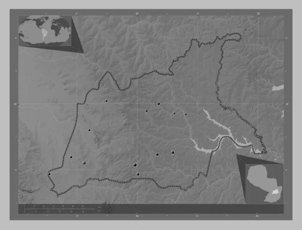
Itapua, department of Paraguay. Grayscale elevation map with lakes and rivers. Locations of major cities of the region. Corner auxiliary location maps
Itapua Department Paraguay Grayscale Elevation Map Lakes Rivers Locations Major — Foto Stock
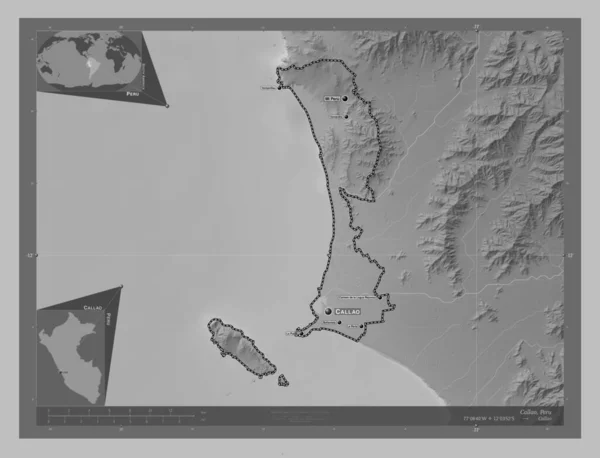
Callao, province of Peru. Grayscale elevation map with lakes and rivers. Locations and names of major cities of the region. Corner auxiliary location maps
Callao Province Peru Grayscale Elevation Map Lakes Rivers Locations Names — Foto Stock

Informazioni d'uso

Puoi utilizzare questa foto royalty-free "Nickerie, district of Suriname. Grayscale elevation map with lakes and rivers. Locations and names of major cities of the region. Corner auxiliary location maps" per scopi personali e commerciali in base alla Licenza Standard o Estesa. La Licenza Standard copre la maggior parte dei casi d'utilizzo, inclusi pubblicità, design dell'interfaccia utente e packaging dei prodotti, e consente fino a 500.000 copie stampate. La Licenza Estesa consente tutti i casi d'utilizzo nell'ambito della Licenza Standard con diritti di stampa illimitati e consente di utilizzare le immagini stock scaricate per merchandising, rivendita di prodotti o distribuzione gratuita.

Puoi acquistare questa foto stock e scaricarla in alta risoluzione fino a 4930x3770. Data Caricamento: 24 feb 2023