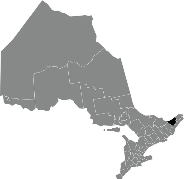
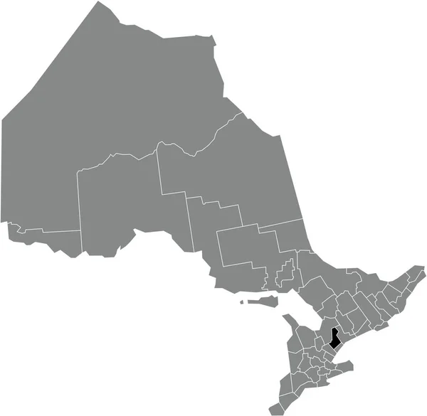
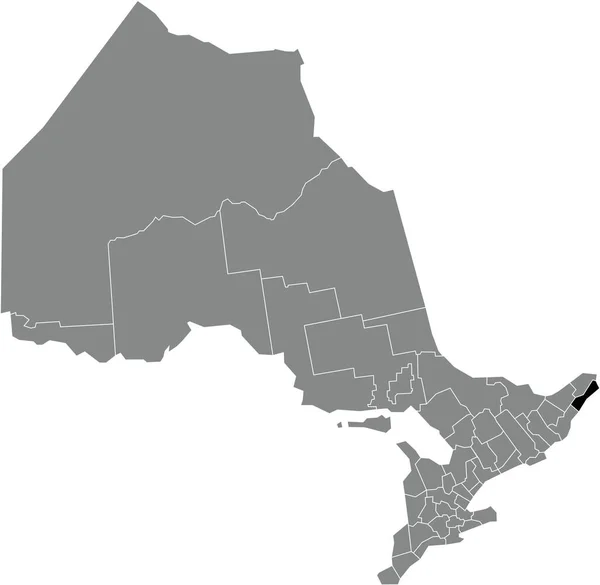
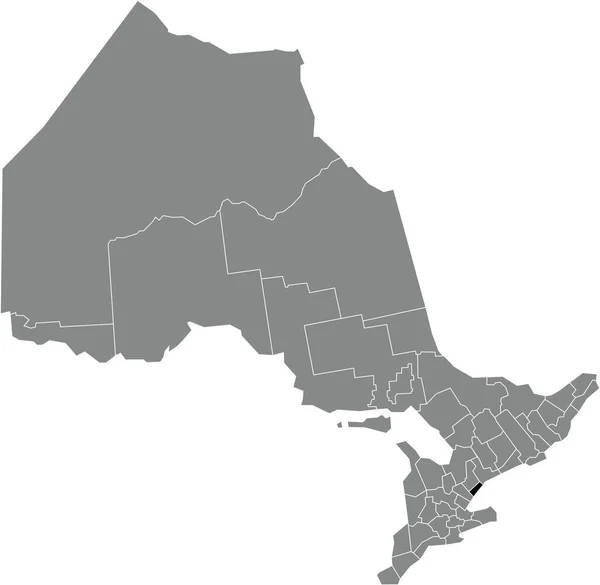
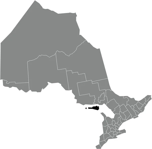
Black Flat Blank Highlighted Location Map Parry Sound District Gray — Vettoriale Stock

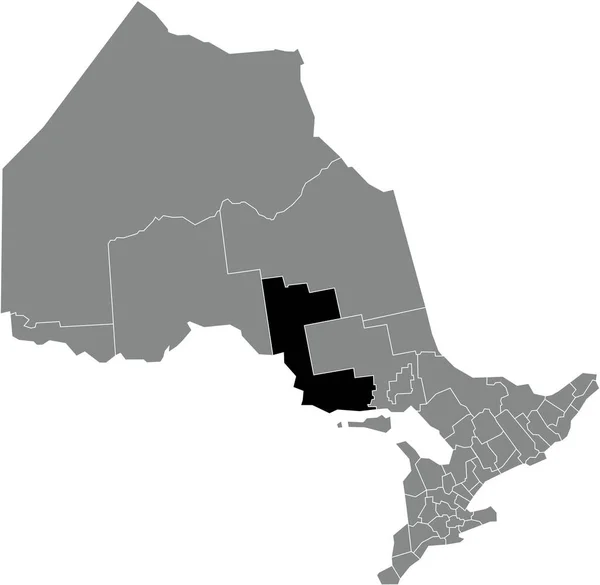
Black flat blank highlighted location map of the PARRY SOUND DISTRICT inside gray administrative map of the Canadian province of Ontario, Canada — Vettoriale

Black flat blank highlighted location map of the PARRY SOUND DISTRICT inside gray administrative map of the Canadian province of Ontario, Canada

 — Vettoriali di momcilo.jovanov

Stessa serie:

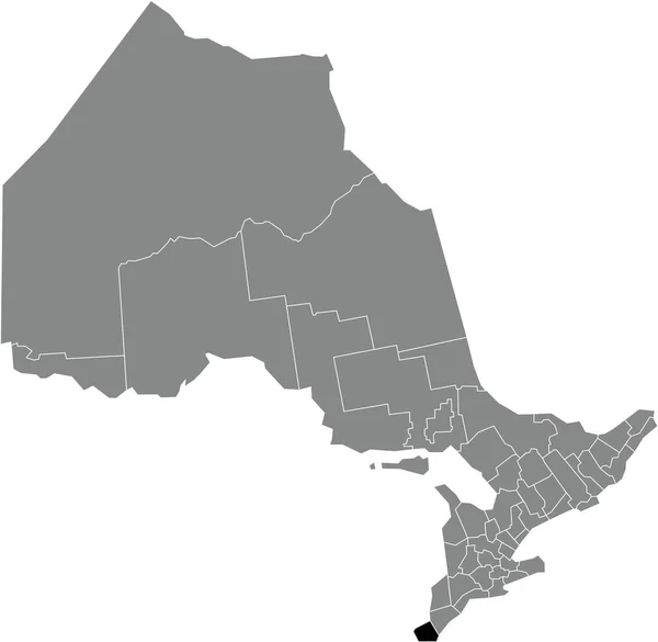
Black flat blank highlighted location map of the ESSEX COUNTY inside gray administrative map of the Canadian province of Ontario, Canada
Black Flat Blank Highlighted Location Map Essex County Gray Administrative — Vettoriale Stock
Black flat blank highlighted location map of the ELGIN COUNTY inside gray administrative map of the Canadian province of Ontario, Canada
Black Flat Blank Highlighted Location Map Elgin County Gray Administrative — Vettoriale Stock
Black flat blank highlighted location map of the HALTON regional municipality inside gray administrative map of the Canadian province of Ontario, Canada
Black Flat Blank Highlighted Location Map Halton Regional Municipality Gray — Vettoriale Stock
Black flat blank highlighted location map of the ALGOMA DISTRICT inside gray administrative map of the Canadian province of Ontario, Canada
Black Flat Blank Highlighted Location Map Algoma District Gray Administrative — Vettoriale Stock
Black flat blank highlighted location map of the HALDIMAND COUNTY single-tier municipality inside gray administrative map of the Canadian province of Ontario, Canada
Black Flat Blank Highlighted Location Map Haldimand County Single Tier — Vettoriale Stock
Black flat blank highlighted location map of the UNITED COUNTIES OF LEEDS AND GRENVILLE inside gray administrative map of the Canadian province of Ontario, Canada
Black Flat Blank Highlighted Location Map United Counties Leeds Grenville — Vettoriale Stock
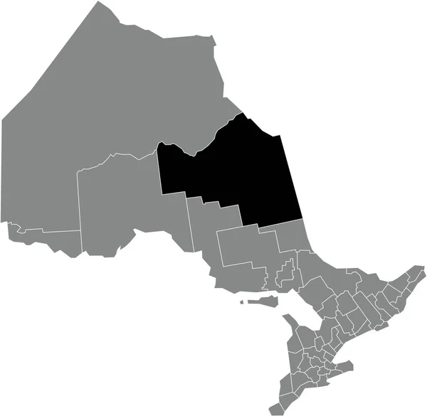
Black flat blank highlighted location map of the NIPISSING DISTRICT inside gray administrative map of the Canadian province of Ontario, Canada
Black Flat Blank Highlighted Location Map Nipissing District Gray Administrative — Vettoriale Stock
Black flat blank highlighted location map of the OTTAWA single-tier municipality inside gray administrative map of the Canadian province of Ontario, Canada
Black Flat Blank Highlighted Location Map Ottawa Single Tier Municipality — Vettoriale Stock
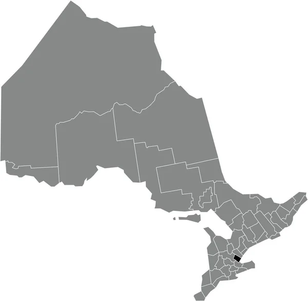
Black flat blank highlighted location map of the YORK regional municipality inside gray administrative map of the Canadian province of Ontario, Canada
Black Flat Blank Highlighted Location Map York Regional Municipality Gray — Vettoriale Stock
Black flat blank highlighted location map of the NORTHUMBERLAND COUNTY inside gray administrative map of the Canadian province of Ontario, Canada
Black Flat Blank Highlighted Location Map Northumberland County Gray Administrative — Vettoriale Stock
Black flat blank highlighted location map of the UNITED COUNTIES OF STORMONT, DUNDAS AND GLENGARRY inside gray administrative map of the Canadian province of Ontario, Canada
Black Flat Blank Highlighted Location Map United Counties Stormont Dundas — Vettoriale Stock
Black flat blank highlighted location map of the MIDDLESEX COUNTY inside gray administrative map of the Canadian province of Ontario, Canada
Black Flat Blank Highlighted Location Map Middlesex County Gray Administrative — Vettoriale Stock
Black flat blank highlighted location map of the TORONTO single-tier municipality inside gray administrative map of the Canadian province of Ontario, Canada
Black Flat Blank Highlighted Location Map Toronto Single Tier Municipality — Vettoriale Stock
Black flat blank highlighted location map of the COCHRANE DISTRICT inside gray administrative map of the Canadian province of Ontario, Canada
Black Flat Blank Highlighted Location Map Cochrane District Gray Administrative — Vettoriale Stock
Black flat blank highlighted location map of the MANITOULIN DISTRICT inside gray administrative map of the Canadian province of Ontario, Canada
Black Flat Blank Highlighted Location Map Manitoulin District Gray Administrative — Vettoriale Stock
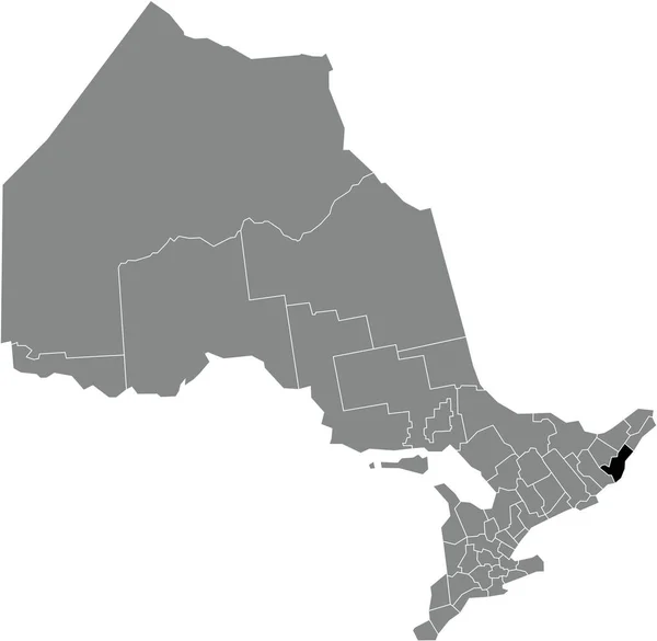
Black flat blank highlighted location map of the UNITED COUNTIES OF PRESCOTT AND RUSSELL inside gray administrative map of the Canadian province of Ontario, Canada
Black Flat Blank Highlighted Location Map United Counties Prescott Russell — Vettoriale Stock

Informazioni d'uso

Puoi utilizzare questa immagine vettoriale royalty-free "Black flat blank highlighted location map of the PARRY SOUND DISTRICT inside gray administrative map of the Canadian province of Ontario, Canada" per scopi personali e commerciali in base alla Licenza Standard o Estesa. La Licenza Standard copre la maggior parte dei casi d'utilizzo, inclusi pubblicità, design dell'interfaccia utente e packaging dei prodotti, e consente di produrre fino a 500.000 copie stampate. La Licenza Estesa consente tutti i casi d'utilizzo nell'ambito della Licenza Standard con diritti di stampa illimitati, e consente di utilizzare i file vettoriali scaricati per merchandising, rivendita di prodotti o distribuzione gratuita.

Questa immagine vettoriale stock è scalabile a qualsiasi dimensione. Puoi acquistarla e scaricarla in alta risoluzione fino a 5007x4883. Data Caricamento: 6 gen 2022