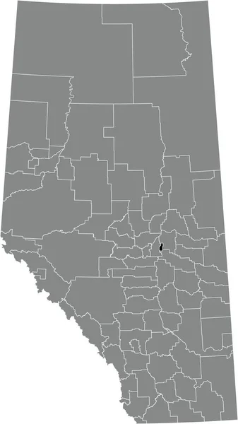
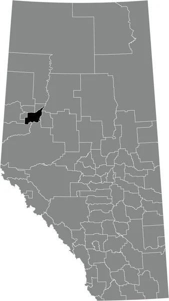
Black Flat Blank Highlighted Location Map Provost Municipal District Gray — Vettoriale Stock

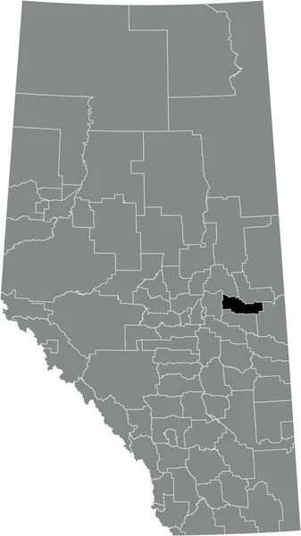
Black flat blank highlighted location map of the PROVOST NO. 52 municipal district inside gray administrative map of the Canadian province of Alberta, Canada — Vettoriale

Black flat blank highlighted location map of the PROVOST NO. 52 municipal district inside gray administrative map of the Canadian province of Alberta, Canada

 — Vettoriali di momcilo.jovanov

Stessa serie:

Black flat blank highlighted location map of the IMPROVEMENT DISTRICT NO. 13 (ELK ISLAND) inside gray administrative map of the Canadian province of Alberta, Canada
Black Flat Blank Highlighted Location Map Improvement District Elk Island — Vettoriale Stock
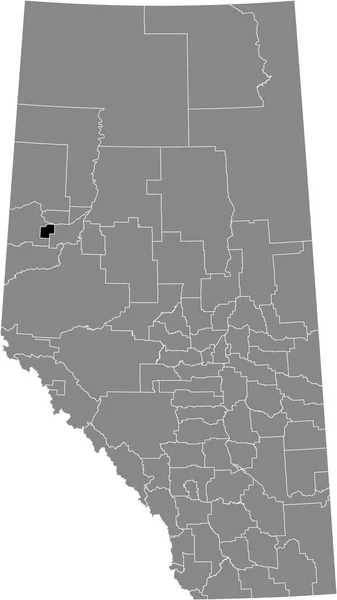
Black flat blank highlighted location map of the SPIRIT RIVER NO. 133 municipal district inside gray administrative map of the Canadian province of Alberta, Canada
Black Flat Blank Highlighted Location Map Spirit River 133 Municipal — Vettoriale Stock
Black flat blank highlighted location map of the PEACE NO. 135 municipal district inside gray administrative map of the Canadian province of Alberta, Canada
Black Flat Blank Highlighted Location Map Peace 135 Municipal District — Vettoriale Stock
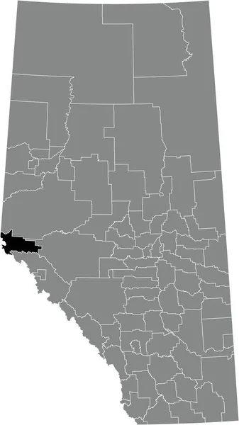
Black flat blank highlighted location map of the IMPROVEMENT DISTRICT NO. 25 (WILLMORE WILDERNESS) inside gray administrative map of the Canadian province of Alberta, Canada
Black Flat Blank Highlighted Location Map Improvement District Willmore Wilderness — Vettoriale Stock
Black flat blank highlighted location map of the FOOTHILLS COUNTY municipal district inside gray administrative map of the Canadian province of Alberta, Canada
Black Flat Blank Highlighted Location Map Foothills County Municipal District — Vettoriale Stock
Black flat blank highlighted location map of the LAC STE. ANNE COUNTY municipal district inside gray administrative map of the Canadian province of Alberta, Canada
Black Flat Blank Highlighted Location Map Lac Ste Anne County — Vettoriale Stock
Black flat blank highlighted location map of the COUNTY OF TWO HILLS NO. 21 municipal district inside gray administrative map of the Canadian province of Alberta, Canada
Black Flat Blank Highlighted Location Map County Two Hills Municipal — Vettoriale Stock
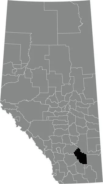
Black flat blank highlighted location map of the COUNTY OF NEWELL municipal district inside gray administrative map of the Canadian province of Alberta, Canada
Black Flat Blank Highlighted Location Map County Newell Municipal District — Vettoriale Stock
Black flat blank highlighted location map of the WILLOW CREEK NO. 26 municipal district inside gray administrative map of the Canadian province of Alberta, Canada
Black Flat Blank Highlighted Location Map Willow Creek Municipal District — Vettoriale Stock
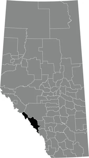
Black flat blank highlighted location map of the IMPROVEMENT DISTRICT NO. 9 (BANFF) inside gray administrative map of the Canadian province of Alberta, Canada
Black Flat Blank Highlighted Location Map Improvement District Banff Gray — Vettoriale Stock
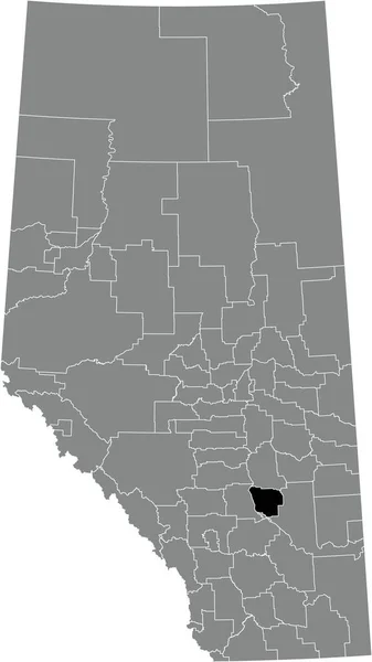
Black flat blank highlighted location map of the FLAGSTAFF COUNTY municipal district inside gray administrative map of the Canadian province of Alberta, Canada
Black Flat Blank Highlighted Location Map Flagstaff County Municipal District — Vettoriale Stock
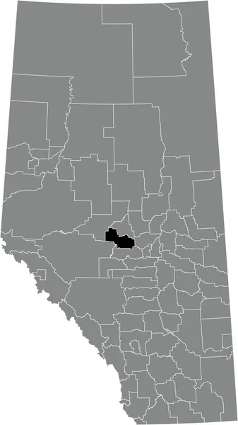
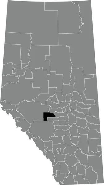
Black flat blank highlighted location map of the BRAZEAU COUNTY municipal district inside gray administrative map of the Canadian province of Alberta, Canada
Black Flat Blank Highlighted Location Map Brazeau County Municipal District — Vettoriale Stock
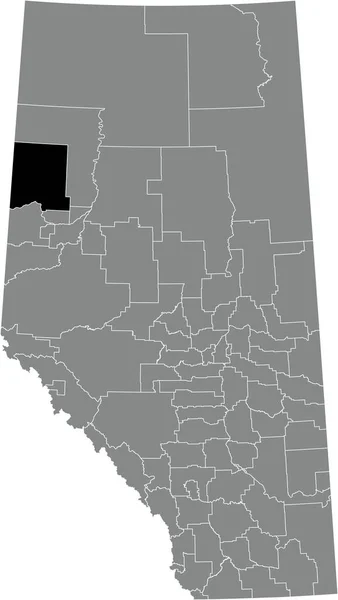
Black flat blank highlighted location map of the CLEAR HILLS COUNTY municipal district inside gray administrative map of the Canadian province of Alberta, Canada
Black Flat Blank Highlighted Location Map Clear Hills County Municipal — Vettoriale Stock
Black flat blank highlighted location map of the STARLAND COUNTY municipal district inside gray administrative map of the Canadian province of Alberta, Canada
Black Flat Blank Highlighted Location Map Starland County Municipal District — Vettoriale Stock
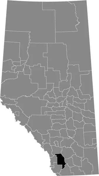
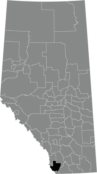
Black flat blank highlighted location map of the PINCHER CREEK NO. 9 municipal district inside gray administrative map of the Canadian province of Alberta, Canada
Black Flat Blank Highlighted Location Map Pincher Creek Municipal District — Vettoriale Stock
Black flat blank highlighted location map of the BIRCH HILLS COUNTY municipal district inside gray administrative map of the Canadian province of Alberta, Canada
Black Flat Blank Highlighted Location Map Birch Hills County Municipal — Vettoriale Stock

Informazioni d'uso

Puoi utilizzare questa immagine vettoriale royalty-free "Black flat blank highlighted location map of the PROVOST NO. 52 municipal district inside gray administrative map of the Canadian province of Alberta, Canada" per scopi personali e commerciali in base alla Licenza Standard o Estesa. La Licenza Standard copre la maggior parte dei casi d'utilizzo, inclusi pubblicità, design dell'interfaccia utente e packaging dei prodotti, e consente di produrre fino a 500.000 copie stampate. La Licenza Estesa consente tutti i casi d'utilizzo nell'ambito della Licenza Standard con diritti di stampa illimitati, e consente di utilizzare i file vettoriali scaricati per merchandising, rivendita di prodotti o distribuzione gratuita.

Questa immagine vettoriale stock è scalabile a qualsiasi dimensione. Puoi acquistarla e scaricarla in alta risoluzione fino a 3664x6506. Data Caricamento: 10 gen 2022